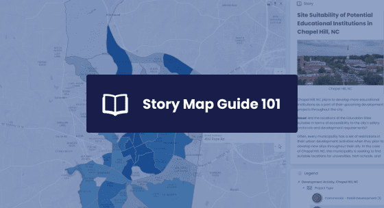
Story maps are a powerful way to combine maps with multimedia content, allowing users to visualize and explore different geographic locations, data, and narratives. We’ve simplified web mapping so that anyone can easily create media-rich interactive story maps with their own data, online.
Learn how to create interactive GIS Story Map presentations and easily bring your spatial datasets to life.
Key Takeaways
How Story Maps can be used to create impactful municipal proposals and presentations.
How to leverage Story Maps to turn your spatial datasets into insights.
Key elements required to design a Story Map that address stakeholder questions.
How to quickly create your own Story Map presentation.
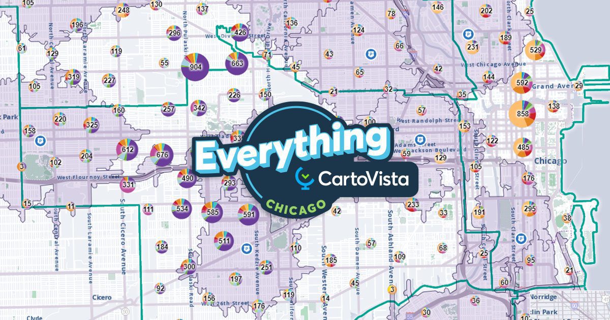
The CartoVista platform unlocks the power of web mapping in the cloud:
• Design intuitive data visualizations and sophisticated presentations that puts YOUR data on a map.
• Create meaningful stories that will impress your stakeholders and make better business decisions.