Login

Why CartoVista

CartoVista is a world-class Software-as-a-Service (SaaS) platform that helps you create rich interactive maps and stories in the cloud.

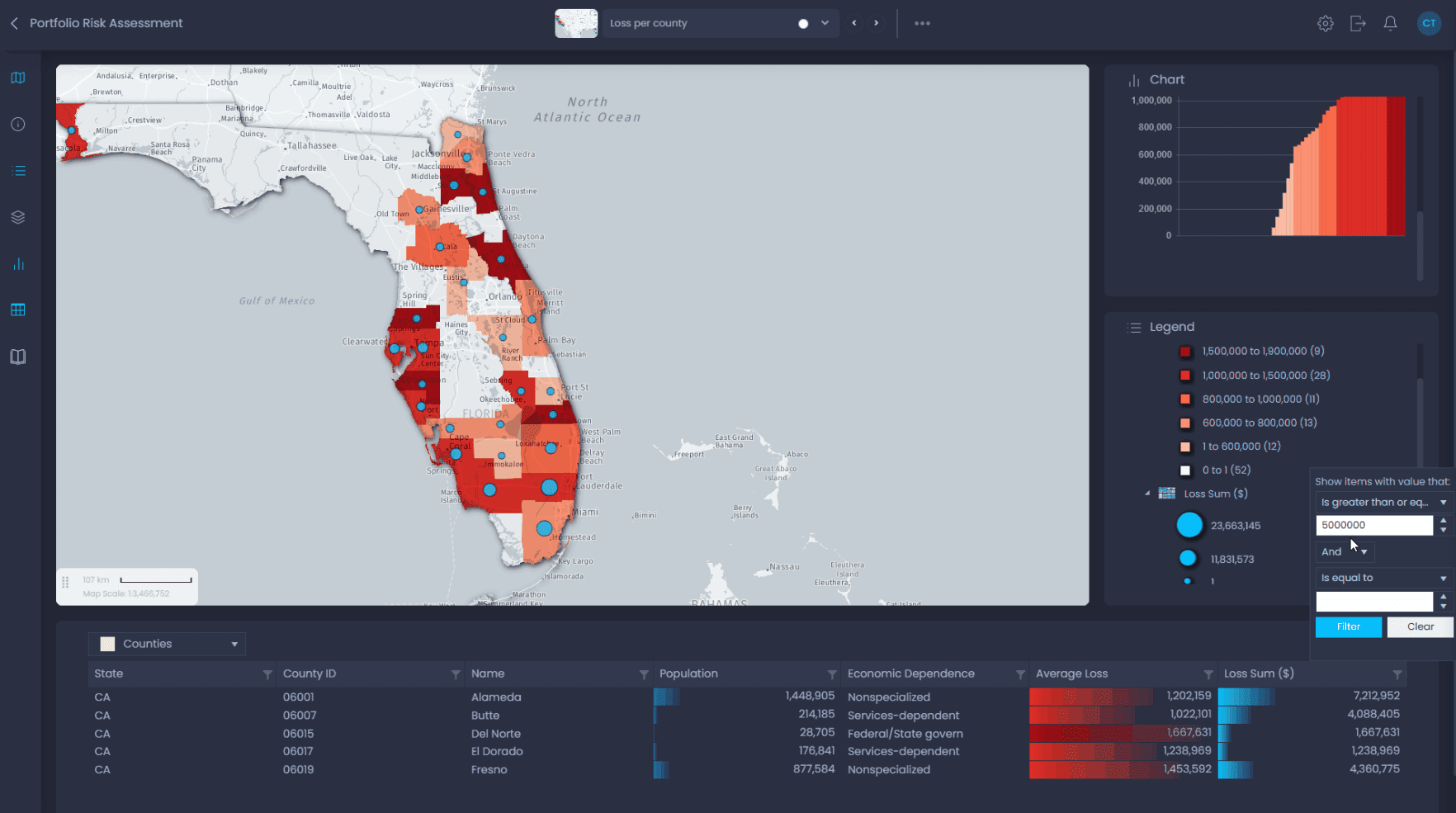
You can design intuitive data visualizations and sophisticated web presentations that put your own data on a map.
Unlock The Full Potential of Your Location Data

Create intuitive data visualizations and sophisticated presentations that put YOUR data on a map.

team-members

Be more efficient with your communications

idea

Make better business decisions

Powerful. Flexible. Easy To Use.

Unlock the power of web mapping in the cloud. Create meaningful maps and stories that will impress your users. Do it yourself for a fraction of the cost.

Quickly on-hand

Easy onboarding

Elegantly visualize data

Fully featured

Speed & reliablity

Fast & secure

Save money

Cost effective

Saas benefits

Deploying your data in the cloud

Cloud deployment simplifies data and map management by eliminating hardware needs and reducing operational hassles. This approach speeds up updates and reduces overhead, allowing your organization to focus more on strategic goals and less on infrastructure management.

30495-min

EASE OF USE

No installation

The only requirement to use CartoVista is to have an account and a web browser. All recent web browsers are fully supported, including mobile devices.

🦆 icon chrome
🦆 icon firefox 57 70
🦆 icon safari ios
🦆 icon edge (1)

User centered

Across projects and teams

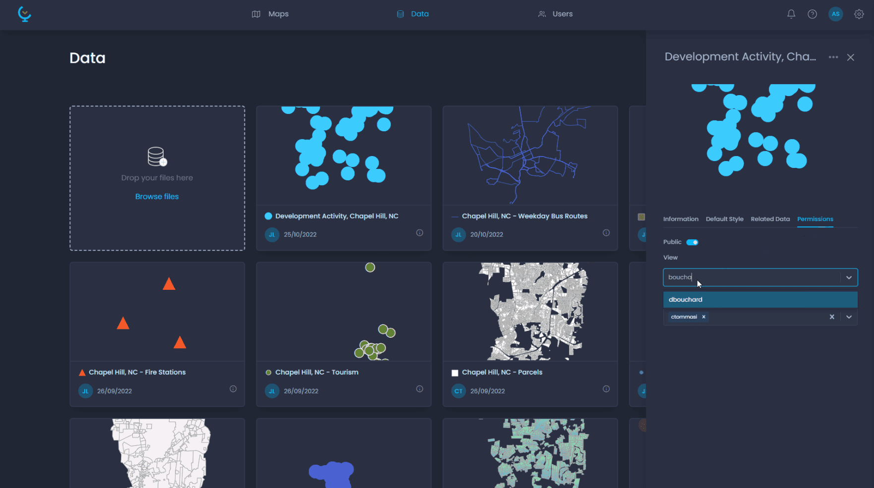
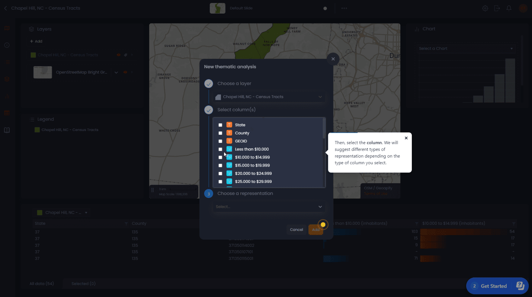
The CartoVista user experience was designed for both technical and non-technical users in mind. As a business user, you can drag and drop your own data and get instant insights. If you are a GIS user, you can access more advanced functionality and have fine control over how your data is displayed.

pexels-jopwell-2422293
cartovista logo

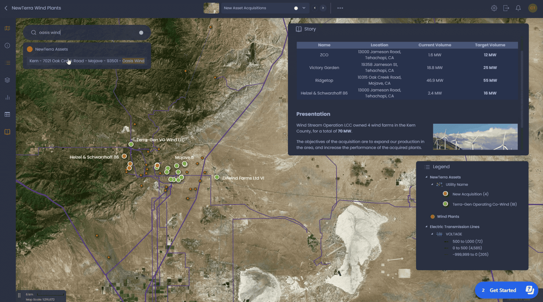
Create inspiring interactive maps in the cloud that will WOW your team.

Explore more

Do you have a project that involves geographic data? Unlock the potential of web communications by creating sophisticated interactive web maps that bridge the gap between GIS and decision makers.

Map Editing

Features

Reach your users with amazing interactive web maps. Create beautiful map design, facilitate data analysis & querying.

Learn more
Online Support

Services

Do you need help to find data? Are you looking for advice on how to best bring your data to the CartoVista platform? Our professional services team can help.

Learn more
React

Integration

Do you have existing data that you would like to connect to CartoVista? Not sure how to keep it secure and make it work for your project ?

Learn more
City Buildings

Industries

Anyone can tell compelling stories with interactive maps—you do not need to be a GIS expert! Discover how you can leverage the CartoVista platform for your industry.

Learn more
cartovista logo

Try our professional plan for free

Ready to get started ?

The CartoVista platform unlocks the power of web mapping in the cloud:
• Design intuitive data visualizations and sophisticated presentations that puts YOUR data on a map.
• Create meaningful stories that will impress your stakeholders and make better business decisions.

Subscribe to our newsletter
Newsletter
Top