


Challenge
Not sure how to integrate software
We are not sure how CartoVista can integrate with our existing databases and IT infrastructure.
Services
Our professional services team helps you find the right data, connect CartoVista to your systems, and build maps and workflows. Get hands-on support or learn to do it yourself with guidance from GIS experts.
How our professional services team helps with data, integration, and map building.
Challenge
We are not sure how CartoVista can integrate with our existing databases and IT infrastructure.
CartoVista solution
We can show you the path to a successful data integration in collaboration with your IT team.
Challenge
We don't have staff to properly setup our data or create maps.
CartoVista solution
We can help organizing your data / create maps or better, show you how to do it yourself!
Challenge
We are not sure what data is available and what to use for our project.
CartoVista solution
We can assist you to find the right data for your project. You can benefit from our best practices to reach your goals.
Data expertise
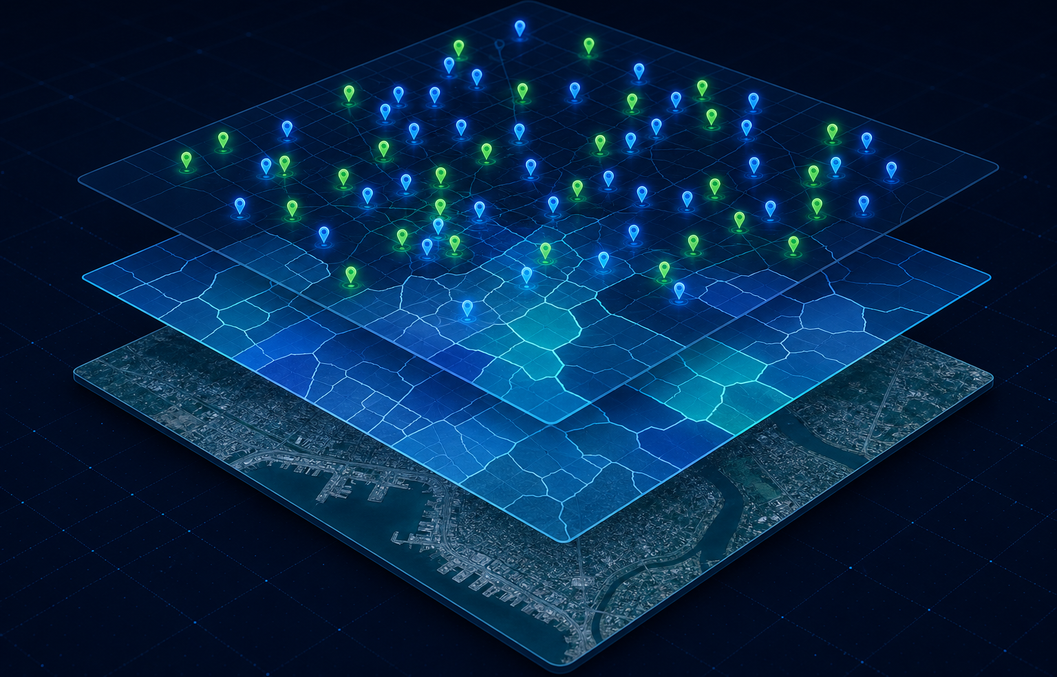
Not sure which datasets fit your project? With 30+ years alongside public and commercial data partners, our team helps you source what you need: demographics, postal and census boundaries, points of interest, satellite imagery, remote sensing, and more.