


Integration
Integrate your data, your way
Connect CartoVista to the business data and tools you already rely on, from QGIS and ArcGIS to OGC services and our REST API. Keep it secure in the cloud and publish interactive maps and stories your audience can explore online.

QGIS
QGIS Plugin
Turn your QGIS projects into interactive, shareable web maps in minutes. Publish directly from QGIS with the free CartoVista plugin and make your spatial insights accessible online. Without coding or manual data migration.
ESRI
Connect your ArcGIS and AGOL layers to CartoVista
CartoVista seamlessly integrates with ESRI’s ArcGIS, allowing you to leverage the powerful capabilities of both platforms.
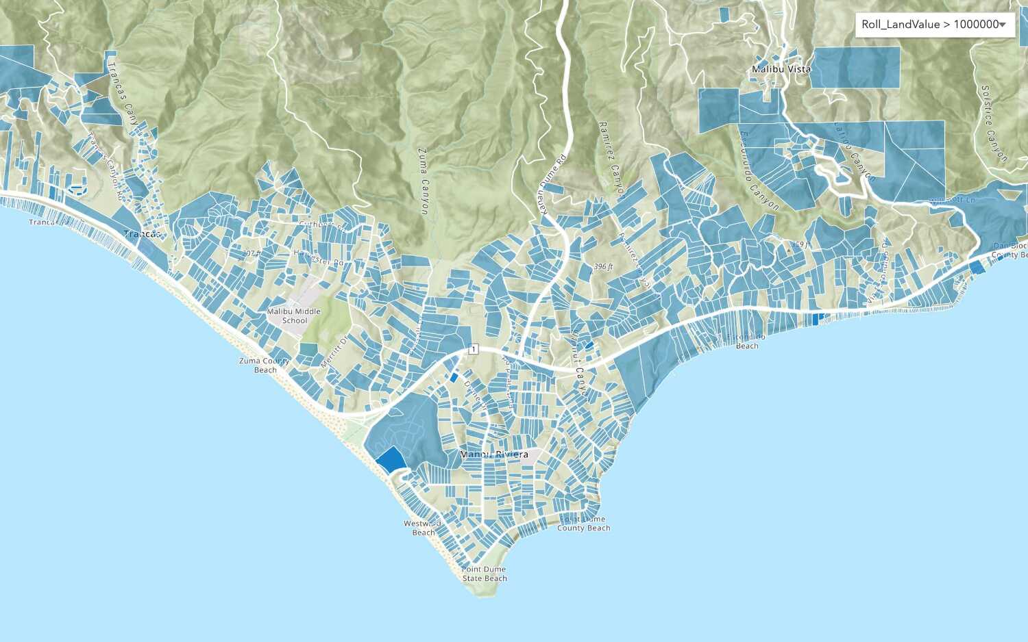
Easily connect your map layers and add them to your map or data gallery via the ArcGIS Feature Services.
Save time and effort in the data integration process by simply entering the URL of the layer feature service to create a normal interactive layer in your CartoVista story map.
WMTS
Add OGC WMTS layers with a service URL
Make your cached map and image services run faster with WMTS services. CartoVista makes it easier for you to scale your projects with access to OGC Web Map Tile Service.
Save the time and effort of adding large OGC Web Map Tile Service (WMTS) data layers in the cloud by simply entering the service URL to request the data.

Automation
Automate data transfer with the CartoVista REST API
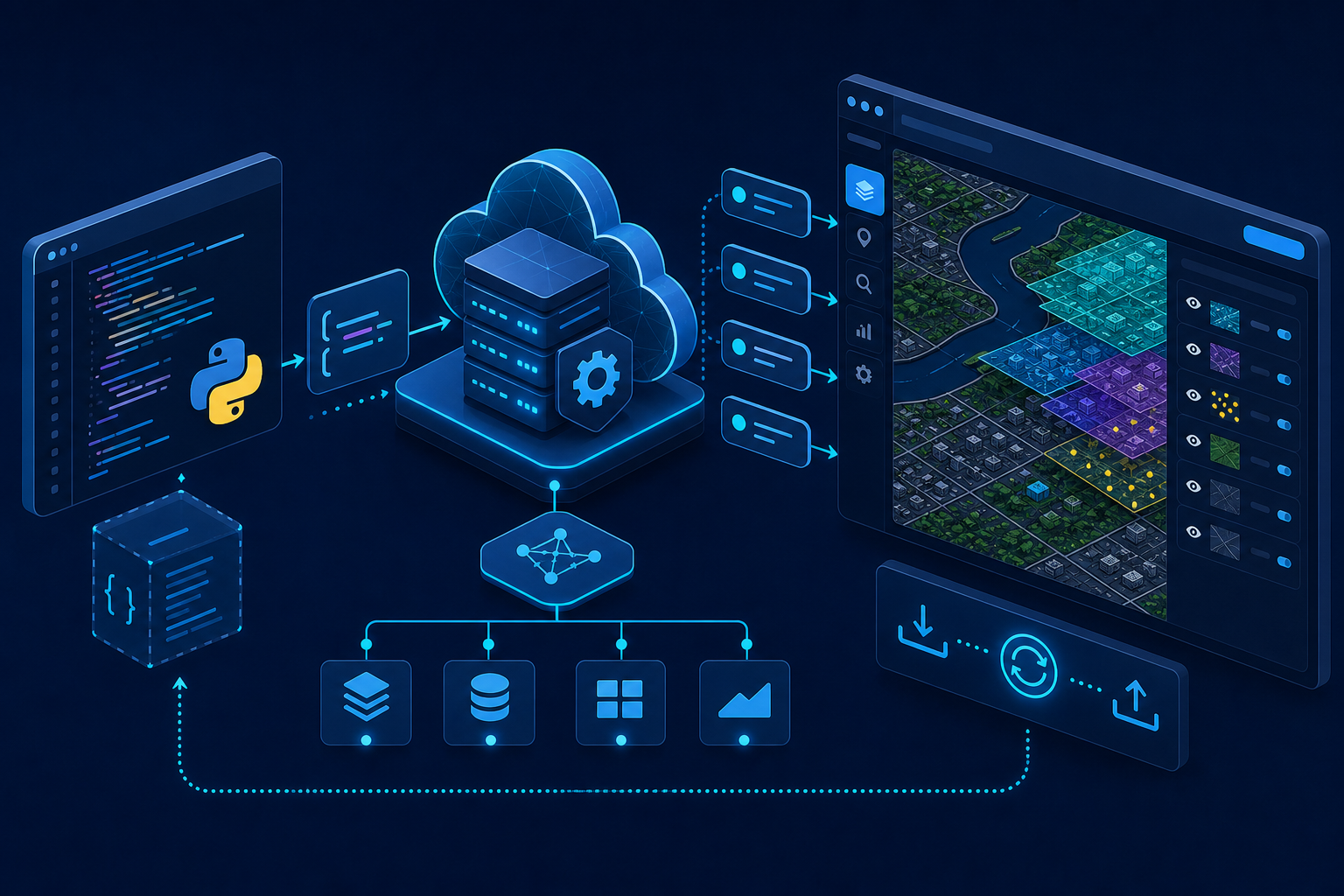
The CartoVista platform includes a secure REST API that you can use to perform tasks such as automatically transferring your data. Using our standard API calls, you can create new layers and attached data in your language of choice (ex: Python script) or inside your favorite ETL tool (ex: FME).
From managing data, permissions and users for example, the CartoVista REST API includes more than 250 functions to help you with your system integration.
NOTE: The CartoVista API requires a Professional Subscription. See Pricing .
Cloud data
Protect your cloud data with confidence
Protecting your data is our biggest responsibility, and ensuring your peace of mind is at the heart of everything we do. We combine experience, agility and stability to protect your information.
