


Residential & commercial: Real estate
Evaluate listings, investment zones, and market trends on interactive maps
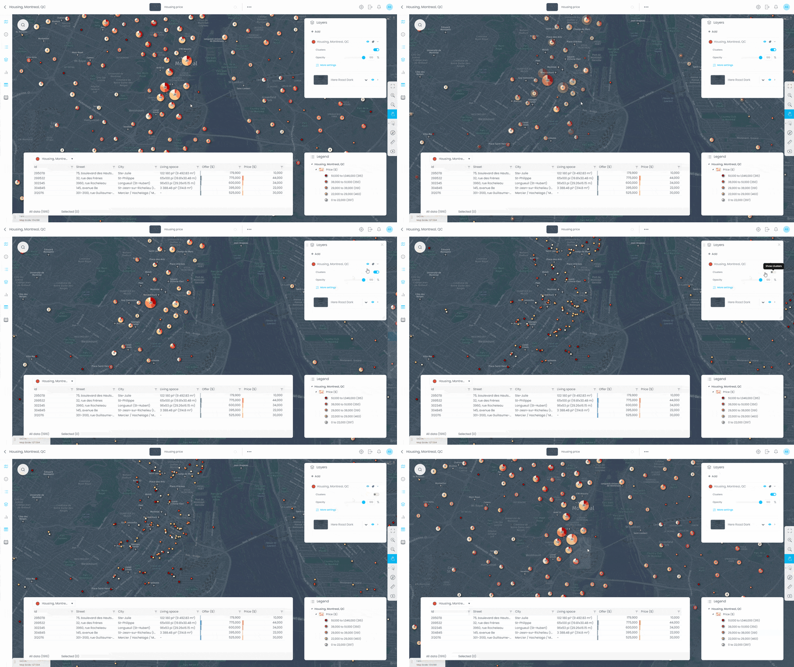
Create client-ready property and market presentations for residential and commercial deals. CartoVista helps real estate professionals analyze markets and communicate insights without heavy GIS work.
Trusted by real estate professionals
Client logos: Manage America





CartoVista helps your real estate team to
- Identify strong property investment opportunities on interactive maps
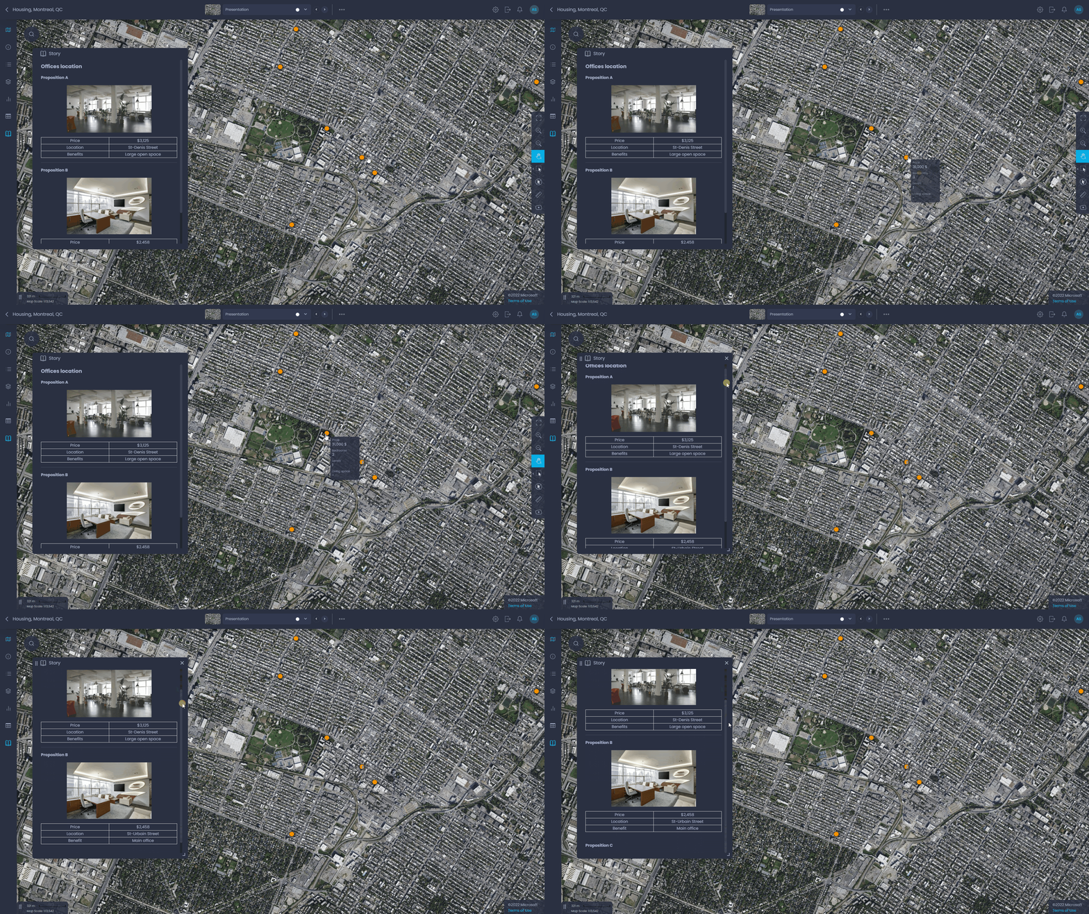
- Present options to clients with interactive market insights
- Analyze trade areas, demographics, and location context for each property
- Create client-ready presentations for residential and commercial deals

Through sending text communication, it can be difficult to portray information and create a clear image of the property and the area. Now, with the implementation of cloud GIS, estate agents can save time by sending visuals.
Geospatial World
What you can do in CartoVista map interface
- Add your own portfolio location data via drag & drop
- Configure how the data is displayed with just a few clicks
- Add demographics, competitors and points of interest (POI) data for your clients
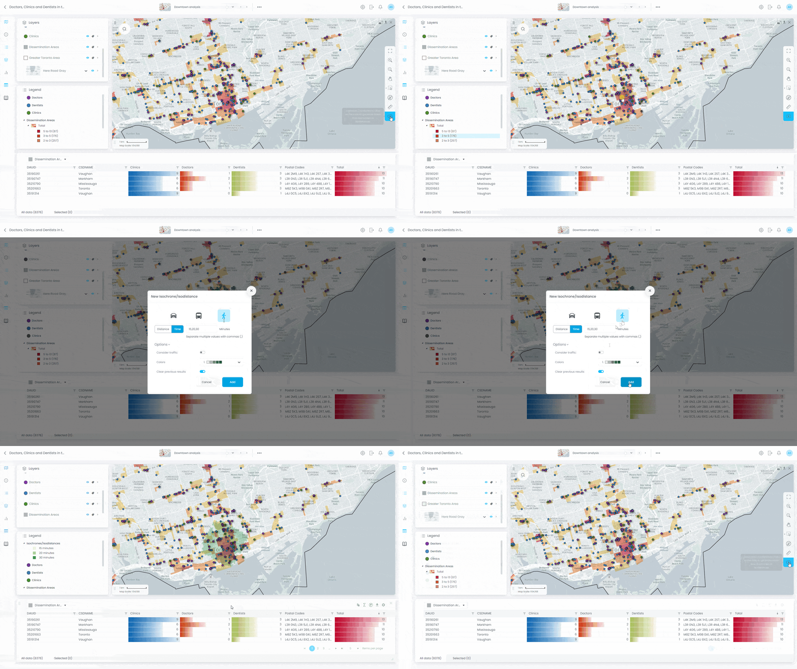
- Create potential trade areas using drive time
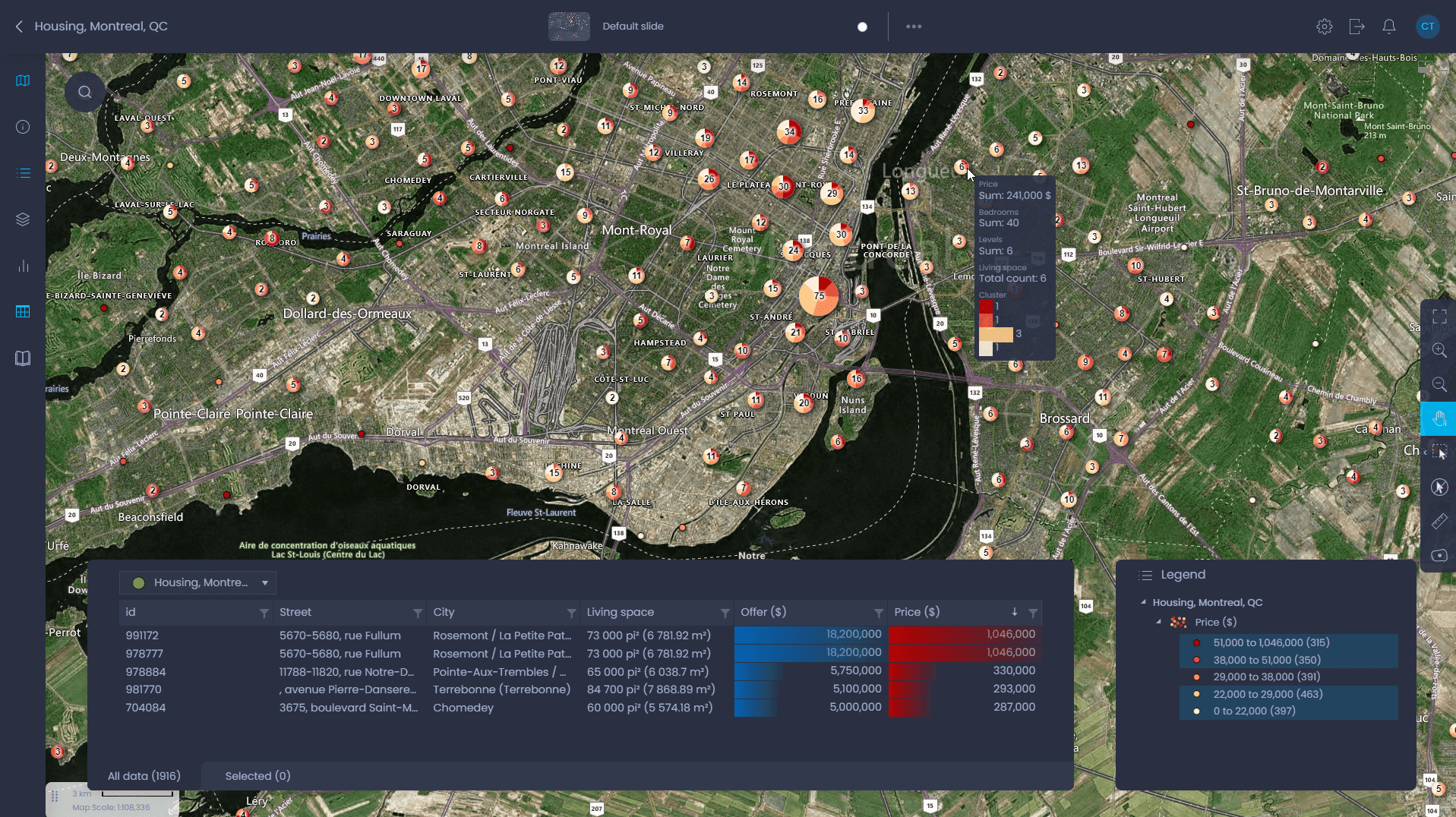
CartoVista in action for real estate
Browse use cases
- Real estate managers
- Real estate agents
- Data analysts
Investment opportunities evaluation
Compare different investment opportunities with market data