

Geoscience: Energy, mining and utilities
Visualize assets, risk, and operations on interactive maps
Support planning, compliance, and stakeholder communication across energy, mining, and utilities. CartoVista helps teams share geospatial insights online without heavy GIS work.
Trusted by leading energy, mining and utility companies
Client logos: Hydro-Québec, Glencore, Brookfield, Pan American Energy, Midcontinent Independent System Operator (MISO), Public Service of New Mexico (PNM), Southern Company, Tennessee Valley Authority (TVA), ISO New England, UniSource Energy Services (UES), Tucson Electric Power (TEP), New York Independent System Operator (NYISO), PowerSouth, CATALYST (a PCI Geomatics brand)













CartoVista helps your team to
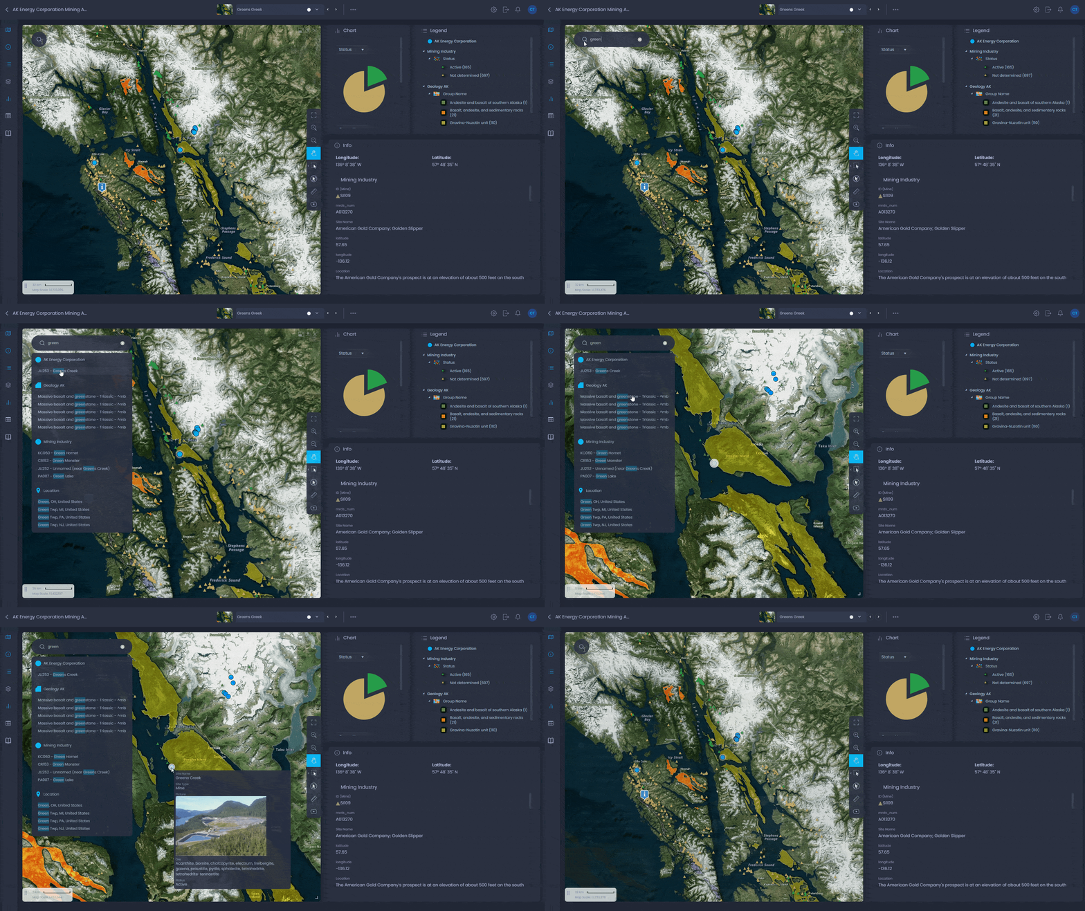
- Manage assets, projects, and resources on interactive maps
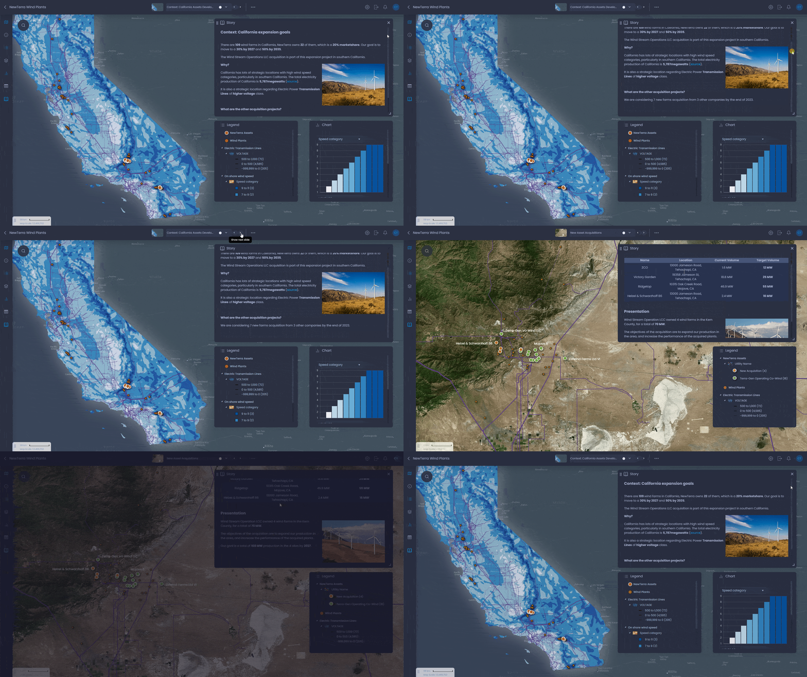
- Plan and communicate current and future capacity
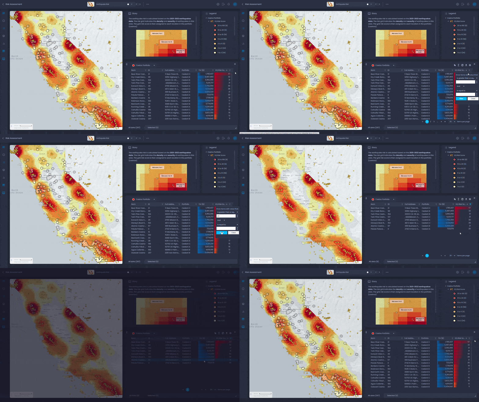
- Assess hazard and environmental risk with integrated data
- Share geospatial insights in the cloud for maintenance and monitoring

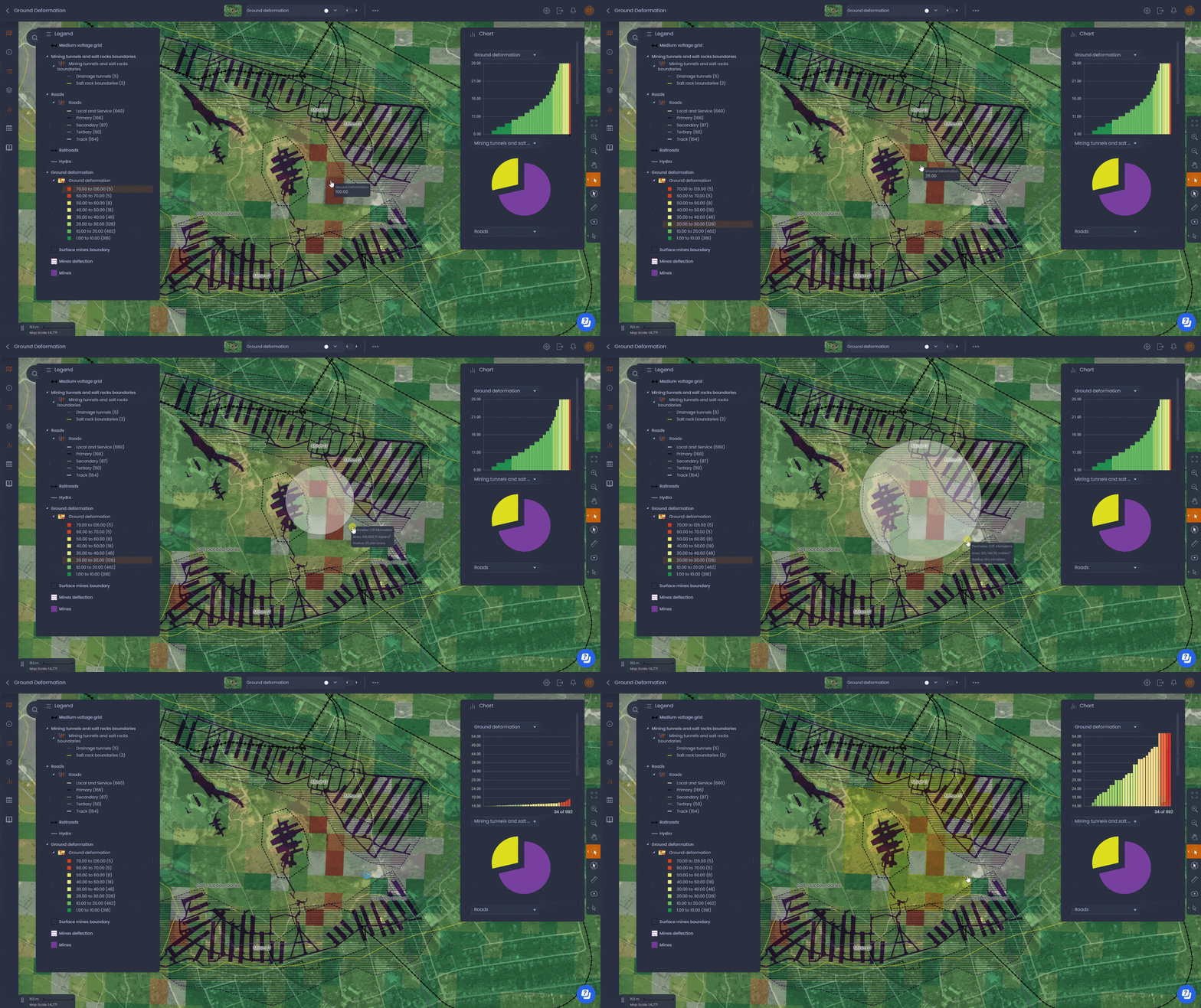
Damage from landslide-related hazards costs many economies around the world more than damage associated with hurricanes, earthquakes, tornadoes and floods.
Environmental risk analytics
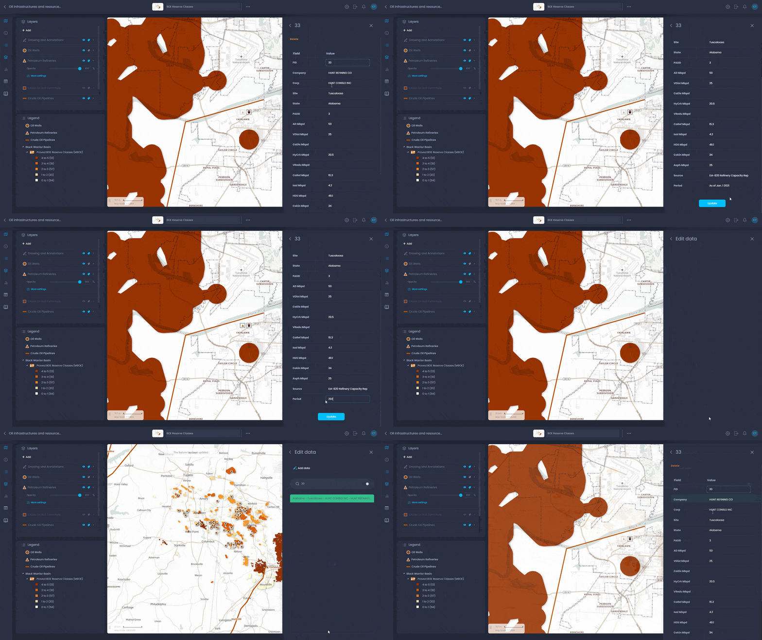
What you can do in CartoVista map interface
- Be more efficient in geospatial data sharing
- Add geoscience data (remote sensing, time-based) with ease via drag & drop
- Configure how data is displayed with just a few clicks
- Answer business questions visually with interactive tools
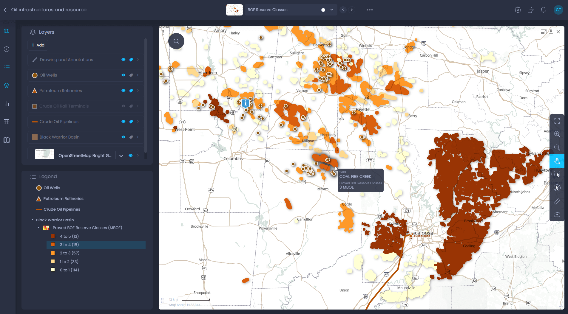
CartoVista in action for energy, mining and utilities
- Engineers
- Transmission planners
- Data analysts
- Market analysts
- Project managers
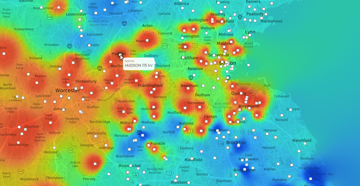
Electric Utilities, ISOs and RTOs Transmission Planning
Create maps that showcase market data and vital planning information, including points of interconnection and current/future capacity. Enhance communication with key stakeholders. See Electric Utilities, ISOs & RTOs Transmission Planning.