

Location intelligence: Other industries
Build interactive maps for any sector
Import data, design presentations, and share location insights across your organization. CartoVista helps teams turn geospatial data into interactive map stories without heavy GIS work.
Trusted by organizations across industries
Client logos: Aéroports de Montréal (ADM), Ministère de l'Éducation du Québec, Travail, Emploi et Solidarité sociale Québec, BluMetric Environmental, Université du Québec à Rimouski (UQAR), Government of Canada, Écoles catholiques Centre-Est, Manage America, Accreditation Canada





















CartoVista empowers organizations to
- Leverage location intelligence for better decision making
- Create meaningful stories and interactive maps online
- Share geospatial data across teams in the cloud
- Be up and running quickly with minimal IT support
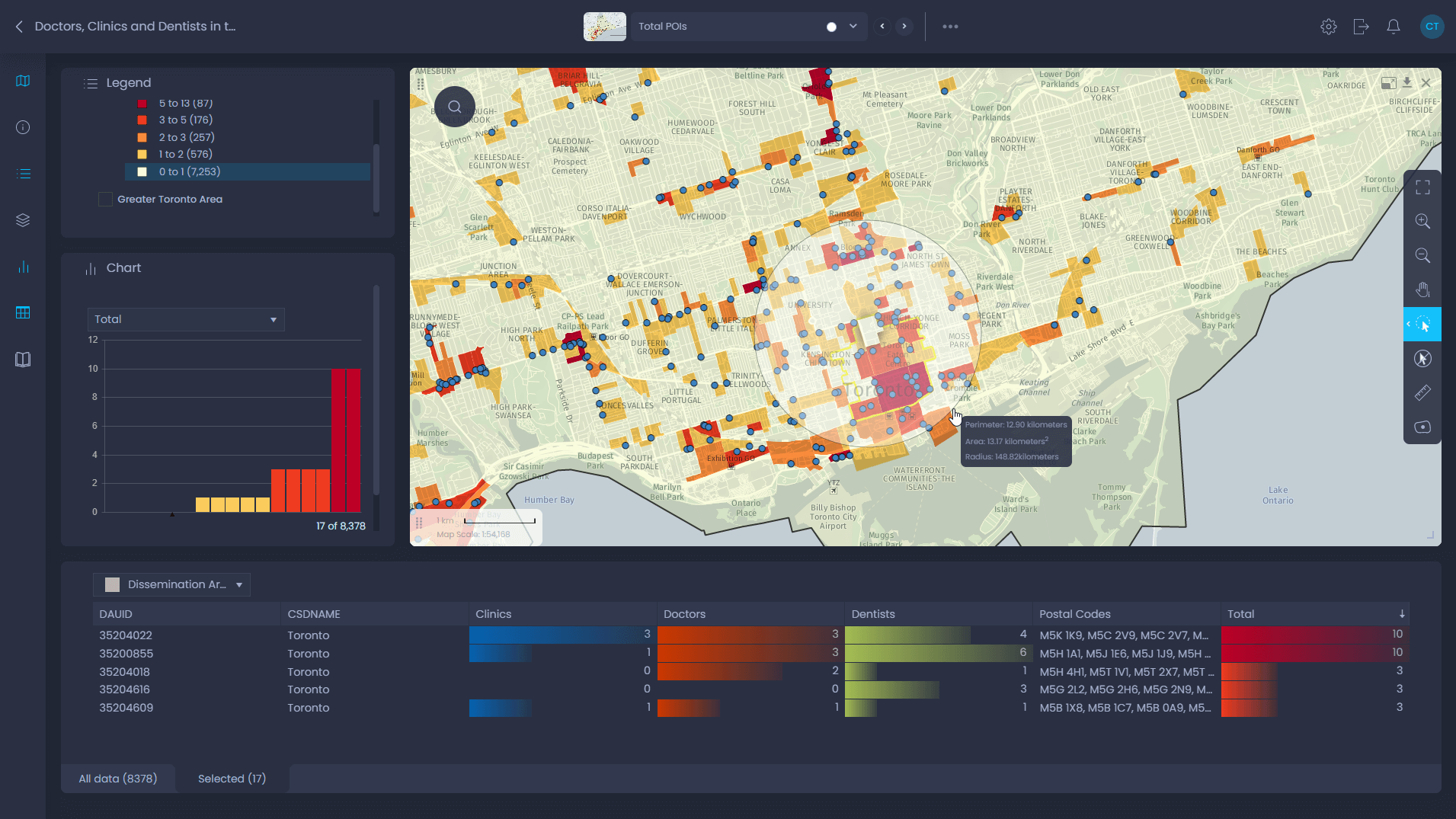
What you can do in CartoVista map interface
- Add your own data via drag & drop
- Configure how the data is displayed with just a few clicks
- Add your own layers (sales territories, demographics, points of interest data)
- Create trade areas using drive time