

Municipalities
Turn municipal data into maps your community can use
Publish interactive map stories for urban planning, open data, and citizen services. CartoVista helps cities and local governments communicate plans and services with your community online without heavy GIS work.
Trusted by leading municipalities
Client logos: Aéroports de Montréal (ADM), Ville de Gatineau, Communauté métropolitaine de Québec (CMQ), MRC de Marguerite-D'Youville, MRC des Collines-de-l'Outaouais, City of St. Thomas, Ontario, Transcollines, TB maestro, Centre de Services Scolaire Des Portages-De-L'Outaouais









MRC des Collines de l'Outaouais
Translating municipal data into insights and opportunities to forecast, plan, and engage the community

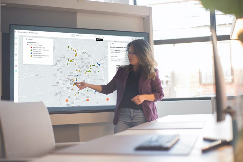
CartoVista empowers your city to
- Improve the integration and access to data for your employees and citizens
- Analyze and share information efficiently for better planning and management of your services
- Communicate visually and answer municipal development-related questions easily
- Be up and running in as little as one hour, with little IT support

Show people your idea for your big project. It might be something that is five years away from completion but give them a taste. It is something they will be able to see and associate with. Then find your data champions and bring them together, just one step at a time.

General Manager, Corporate Services | Town of Orangeville
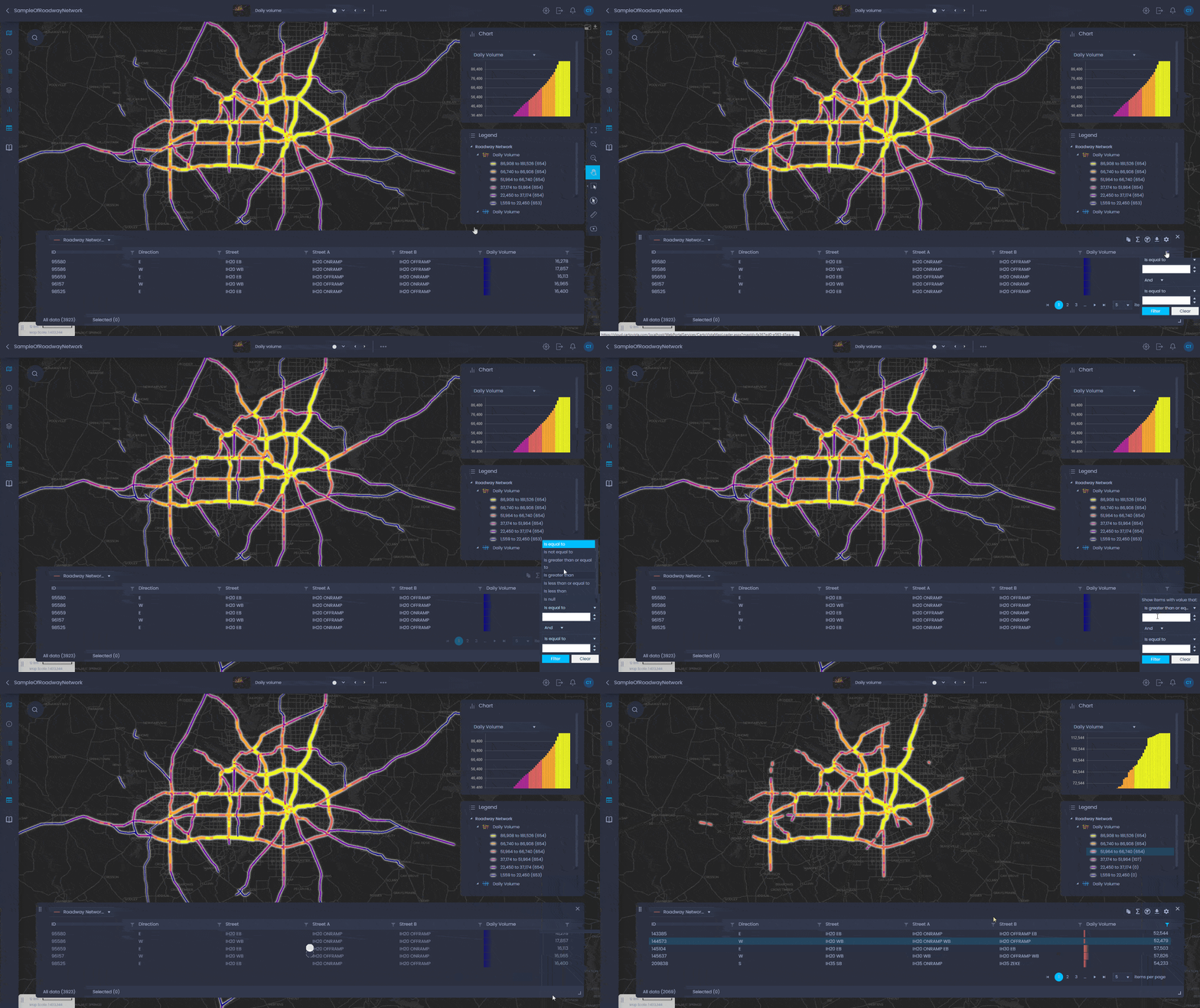
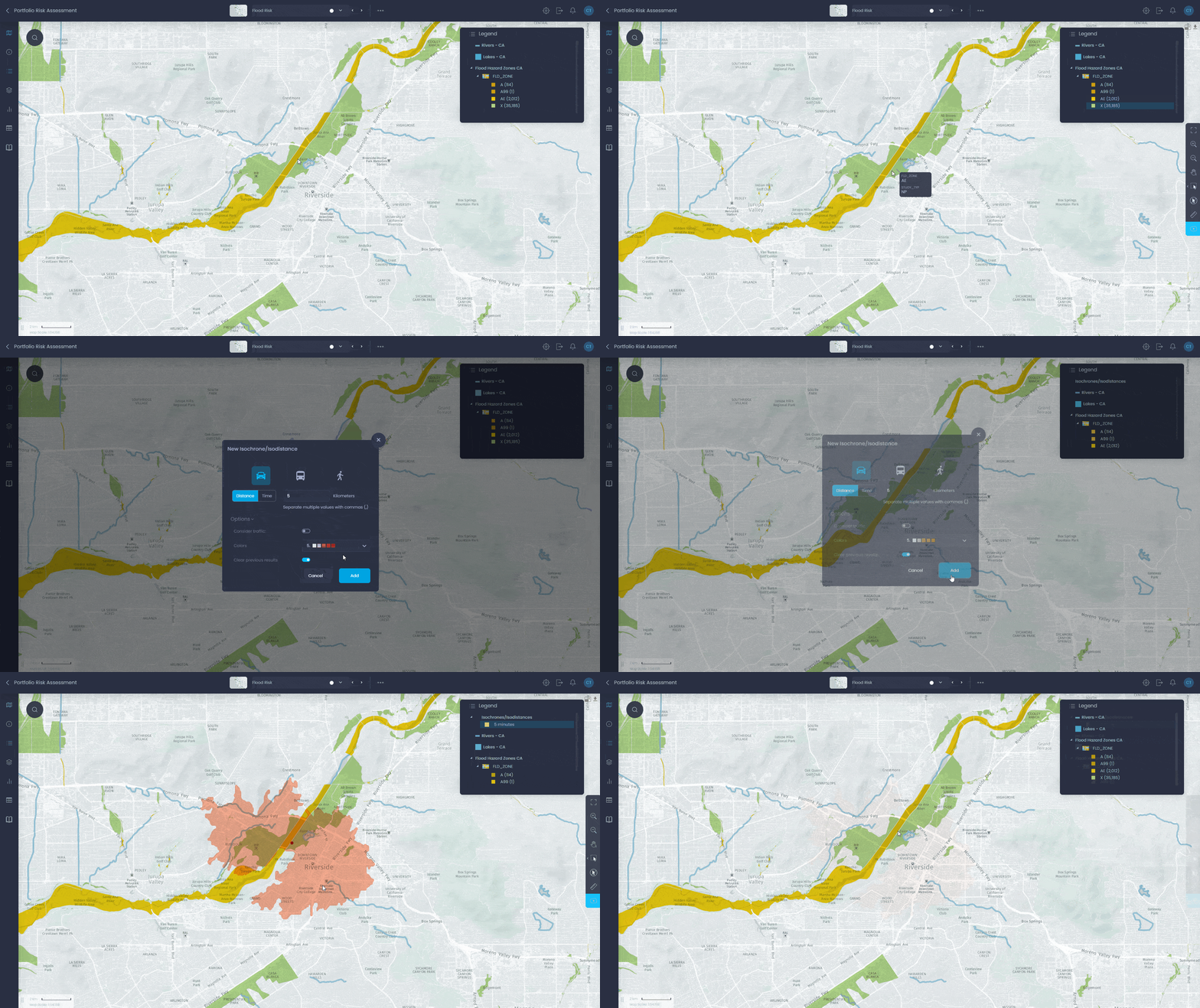
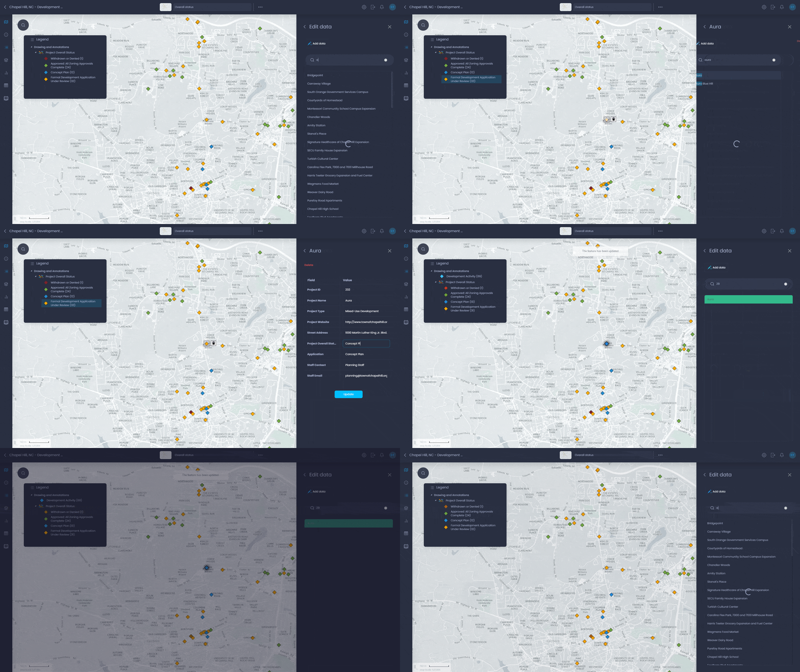
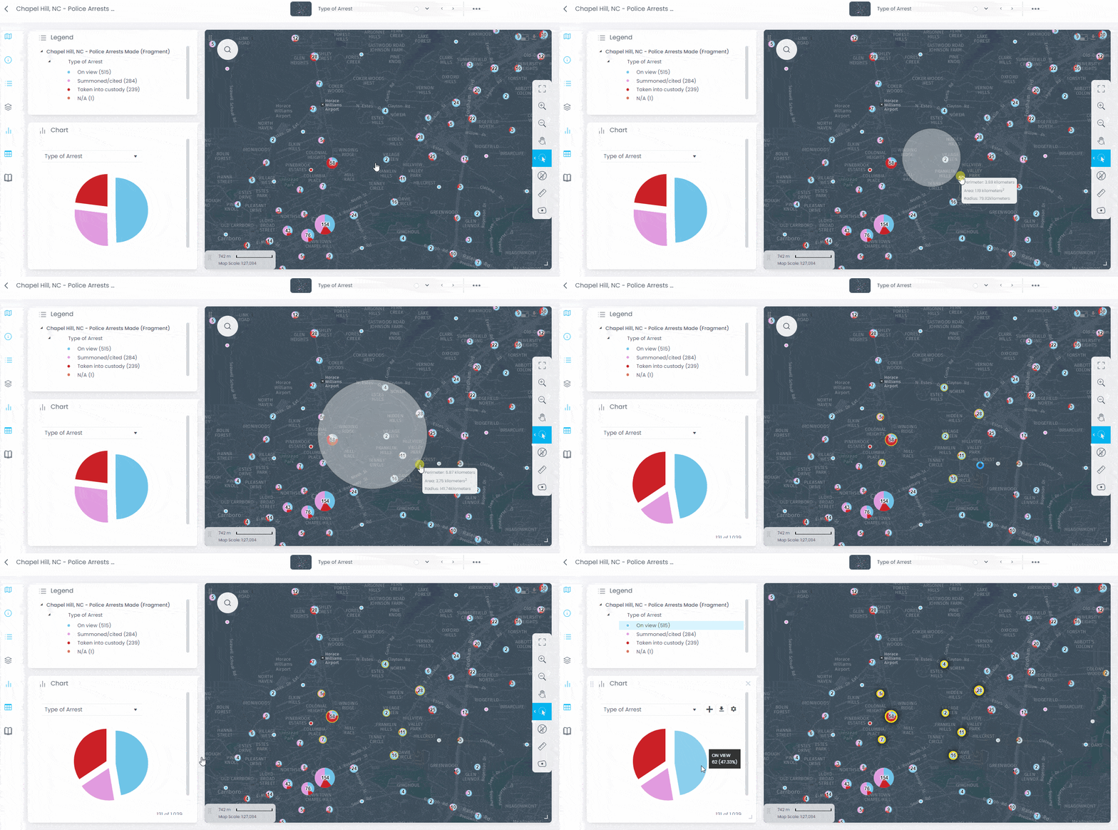
What you can do in CartoVista map interface
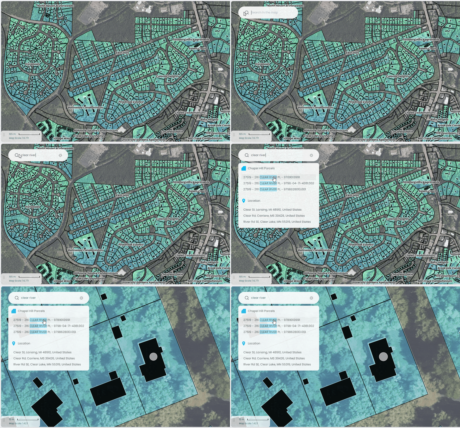
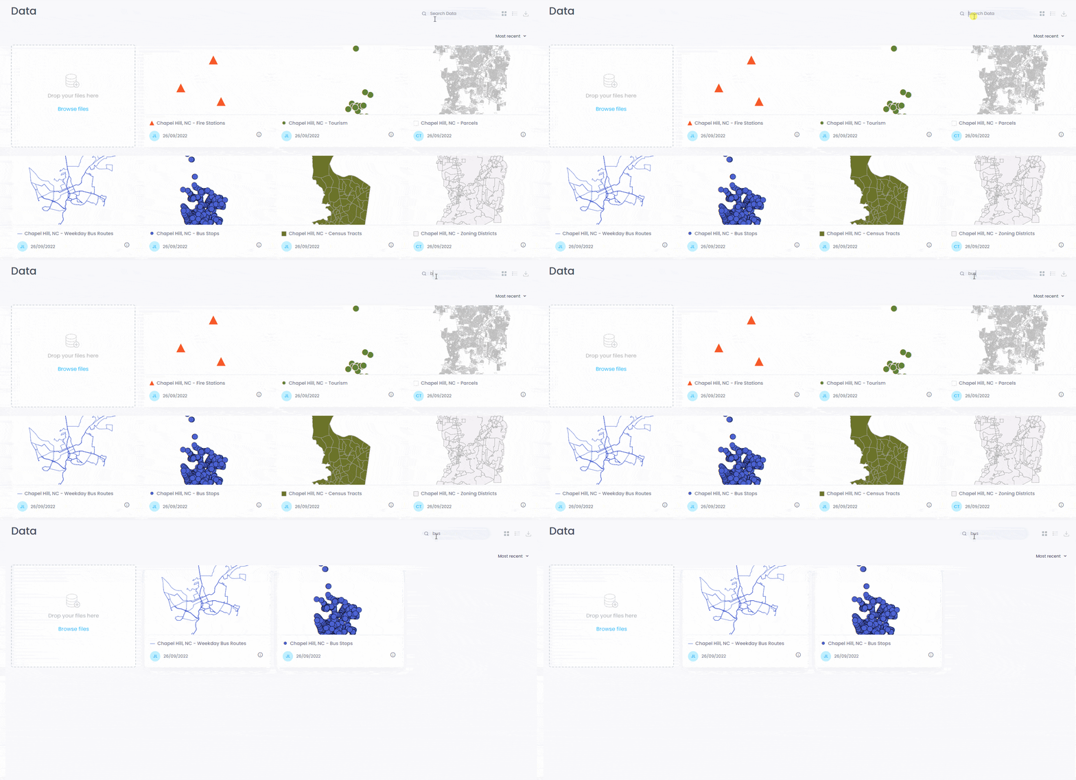
- Add your own data via drag & drop
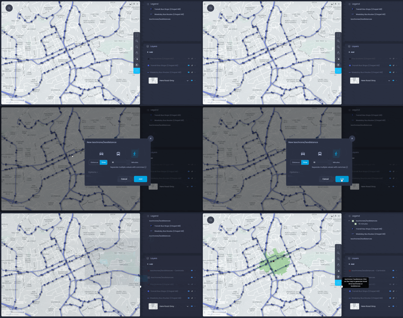
- Configure how the data is displayed with just a few clicks
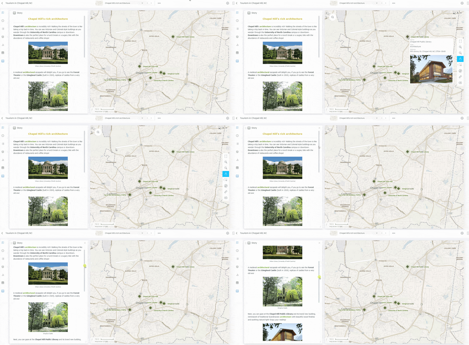
- Create meaningful views that tell a story
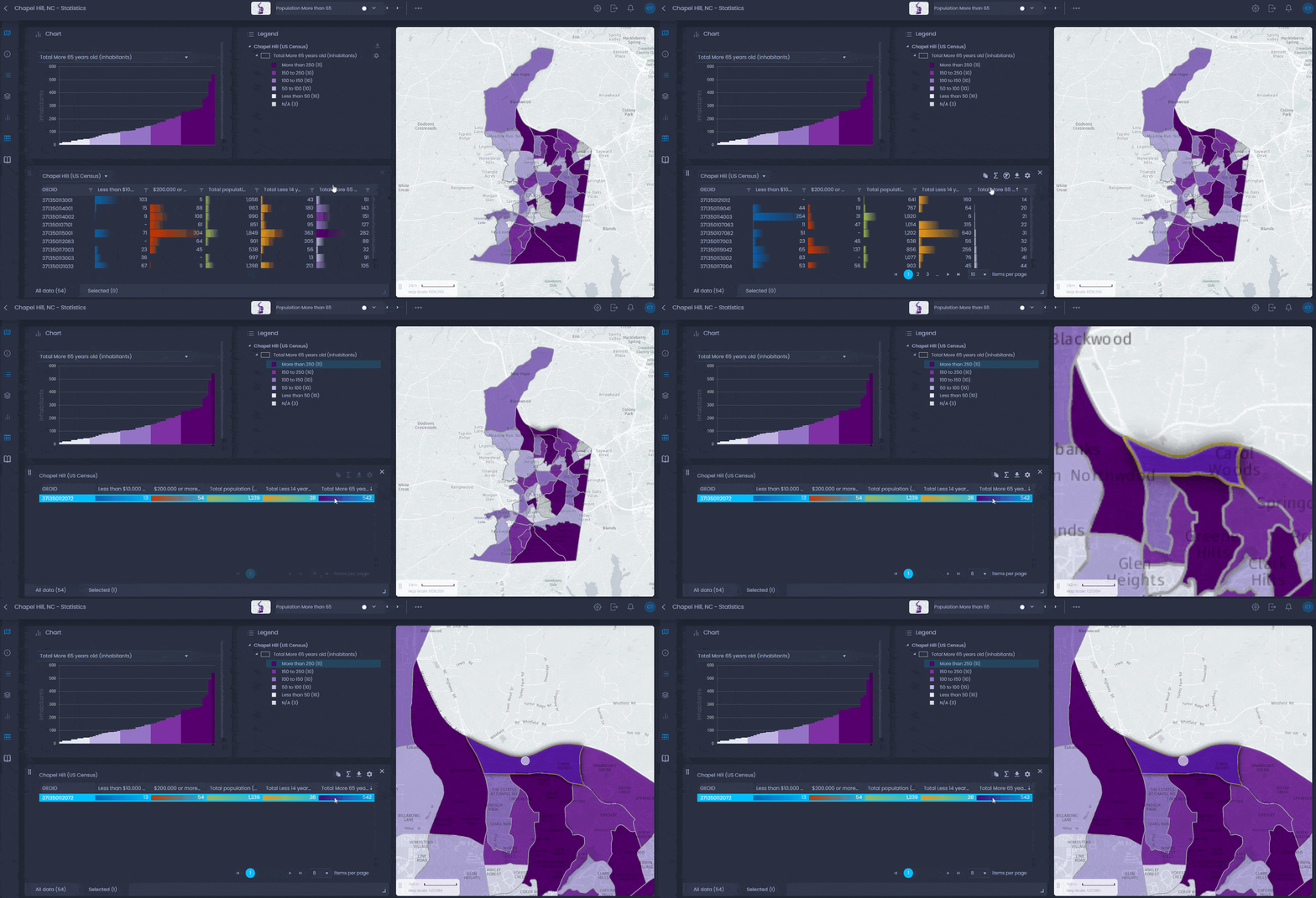
- Answer public or internal questions with visual content
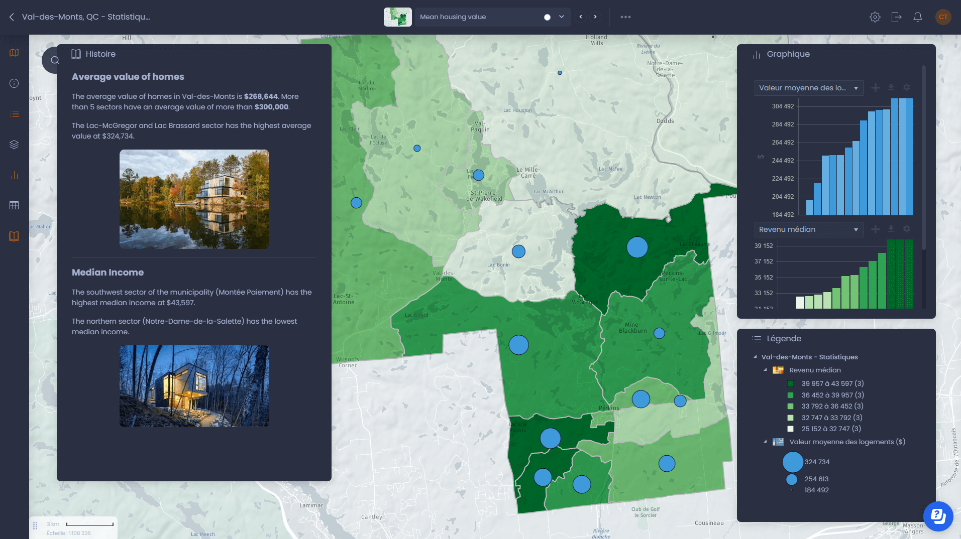
CartoVista in action for cities
- City counselors
- Communication staff
- Economic development staff
Planning & Economic Development
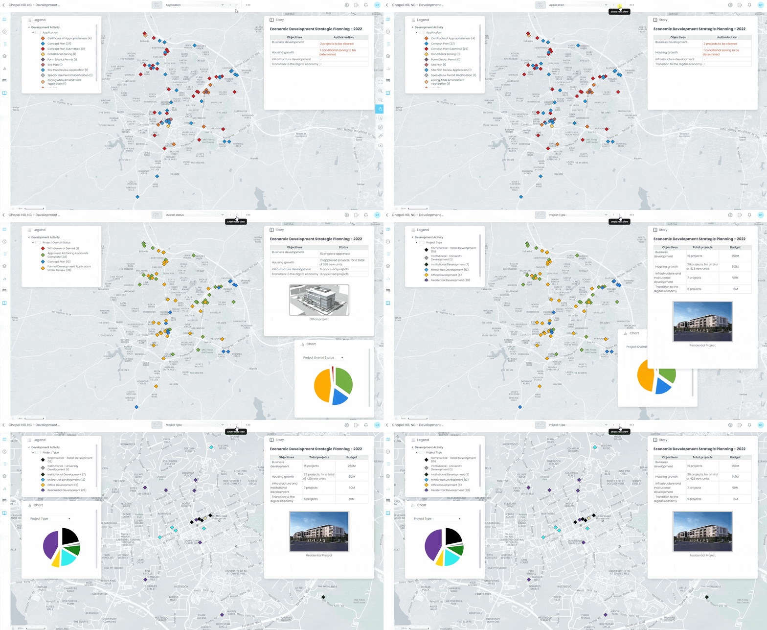
Create interactive urban planning council presentations