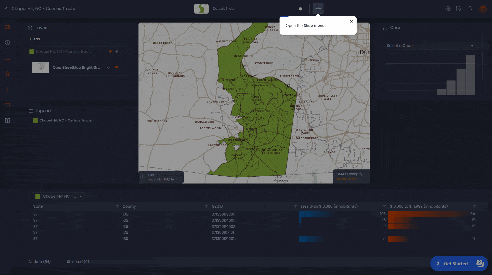
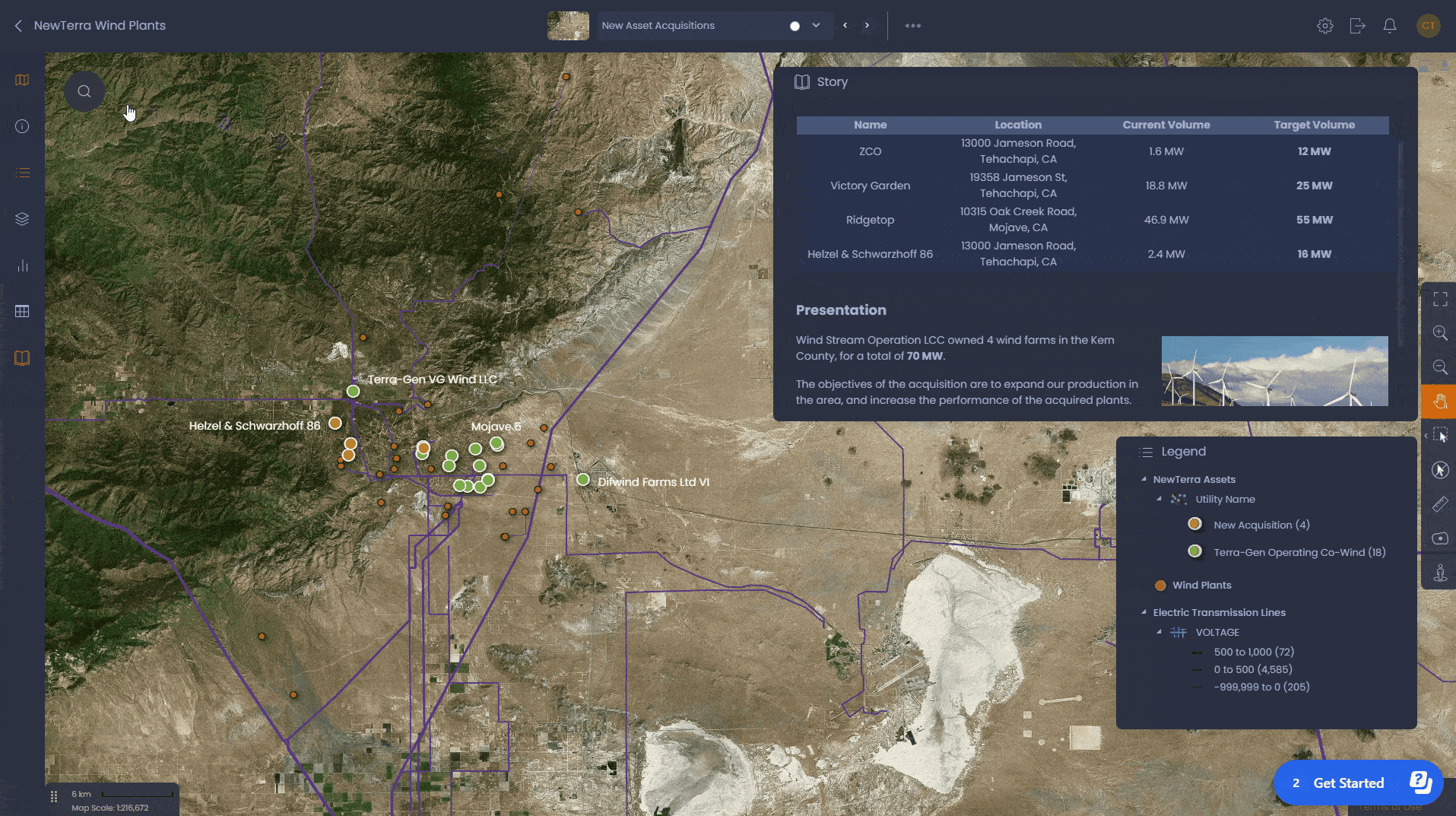
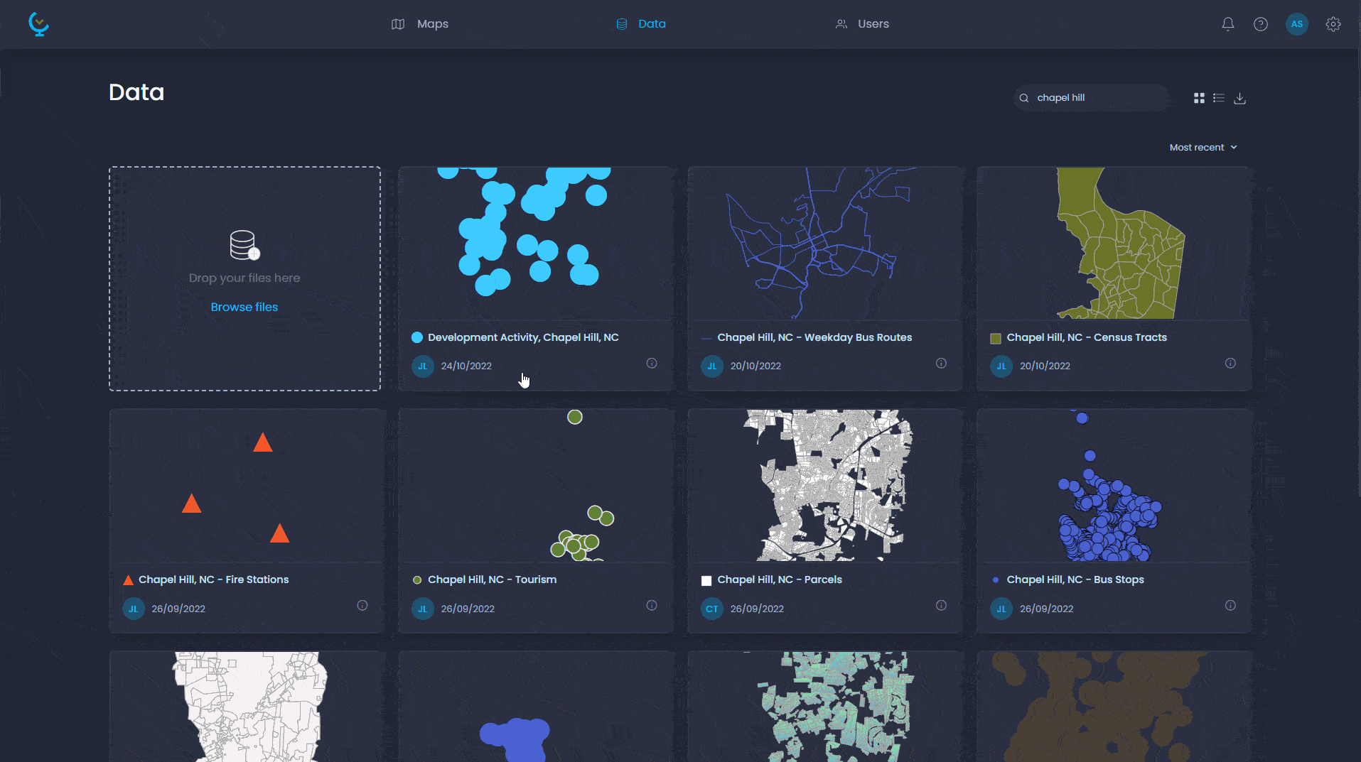
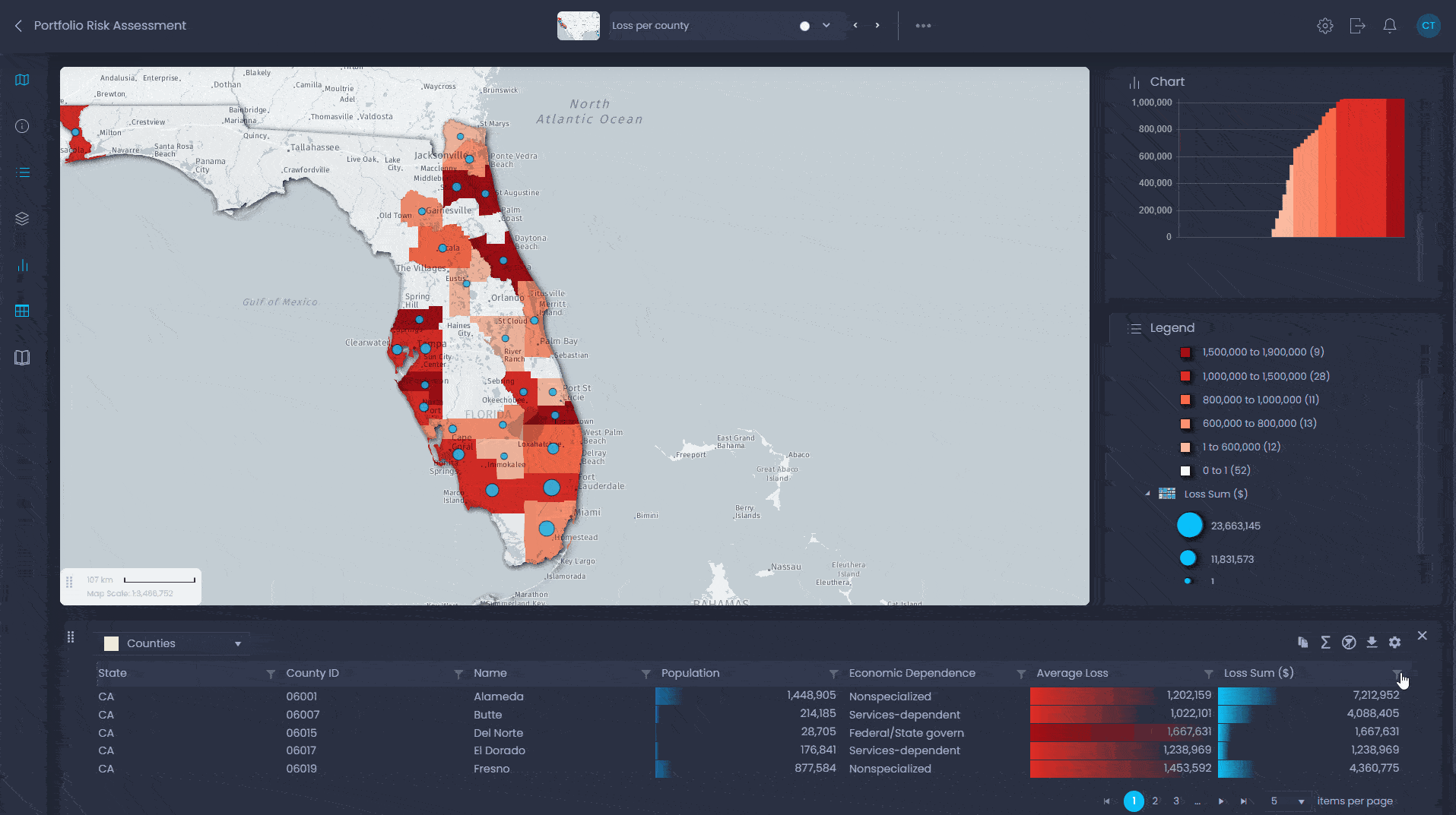
Version 5.6.0
CARTOVISTA VIEWER 5.6.0 (HTML)
NEW SERVER MODULE
- Territory Manager.
NEW FEATURES
- Vector server layers.
- Microsoft Bing search geolocalization bar.
- New JSON data format for thematic data. Greatly improved loading time.
- WMS layers now visible in the legend as an image.
- Renderer now supports various polyline stroke line cap and polyline stroke line join.
- Information view now supports options to display the decimal and DMS coordinates.
- Print layout:
- Capability of adding charts.
- Users can now set text boxes’ background as transparent.
- New tools to bring to front and send to back all printable components.
- Documentation in Portuguese.
IMPROVEMENTS
- Improved significantly the search view algorithm.
- No rollover on the data grid when doing a rollover on the header.
- Info pan tool map icon is now the normal arrow instead of hand icon.
- Data grid in data view now have tooltip on header.
- Improved interactivity responsivness on charts in IE/Edge.
- Improved rendering speed when multiple layers have same zoom layering.
- Change behavior of annotation drawing tool: clicking outside of an newly created annotation feature now creates it instead of deleting it.
- Map tweening between large distance is now improved (avoid loading too many tiles).
- Print Layout:
- Title now includes the current theme set title.
- Reorganized print layout toolbar.
- Minimum text box size now fits the text.
- Improved alignments of:
- Spatial intersection tool drop-downs.
- Selection menu tool.
- Drawing panel.
- Legend titles background color.
- Nodes are now rendered for shape defined with the area tool calculator.
- Default rollover effect on image points is now applied when no rollover image specified.
BUG FIXES
- Fixed selection of text in information view.
- Fixed problem in print layout when the font name or font size were not selected in their corresponding dropdown.
- Fixed Layer alignment problem when tile layer is not visible by default and there is a minScale or maxScale.
- Fixed problem with clusters not updating in the map when turning off style classes.
- Fixed color rendering on clusters when only one feature in the cluster.
- Fixed interactivity problems with donut holes in polygons.
- Fixed a bug in data collections where the index was not deleted when removing a column.
- Fixed problem of selection stroke not always refreshed on map.
- Fixed problem in Mobile (responsive) mode:
- TileCache layer now loads properly.
- Scrolling in layer control now works.
- Datatip staying on map when doing an info.
- Fixed problem of two fingers pinch zooming the page instead of the map in mobile mode.
- In the Publisher Theme configuration dialog, configurations made on N/A Values in a theme set are now saved.
- Fixed problem of feature styles not reset when filter cleared.
- Fixed problems on points when applying a rotation on symbol point features:
- Layer positionning.
- Datatip, rollOver and info now working.
- Rotation now applied to stroke image and selection color.
- Hyperlink tool now working when clustering is activated.
- Fixed problem when searching on a column of a layer that had data filter on another column.
- Fixed rendering problem with dashed stroke style not rendered properly when stroke width was greater than 1.
- Fixed problem with cached query not being executed when the initial query was not yet completed.
- Fixed data tip error on individual points of a layer with clustering.
- Fixed problem in print layout when text box selected was over the map.
- Http link inside html tag are not linkified anymore.
- Highlighted legend class are not highlighted anymore in print layout.
- Labelling now updates when clustering visibility is changed.
- Not visible layer does not appear anymore when panning or zooming.
- Fixed rendering problem in legend with symbols being cropped.
- Fixed rendering problem with point layer when turning visibility when clustering was enabled after map loaded.
SDK
- Deprecated LayerSelectionChangedEvent.selectedFeatures and created LayerSelectionChangedEvent.selectedFeatureIds.
- Print layout font list now merge with base url.
- Localization.js can now be used by SDK project.
- Two new attributes on CartoVista div: class and data-cv-roles. Ex: <div class=”cartoVista” data-cv-role=”cartoVista” …>.
- ExternalInterface.getDrawingLayerSelectedFeatures() returns all features of the drawing layer, not only the selected ones.
- Moved following classes:
- cartovista\common\CanvasUtil.js
- cartovista\common\DBxClass.js
- cartovista\common\DiacriticsRemovalMap.js
- cartovista\common\DomEventListener.js
- cartovista\common\DomUtil.js
- cartovista\common\Guid.js
- cartovista\common\HttpUtil.js
- cartovista\common\Metrics.js
- cartovista\common\Point.js
- cartovista\common\Polyfill.js
- cartovista\common\QueryString.js
- cartovista\common\requireJsPackage.js
- cartovista\common\RGBA.js
- cartovista\common\StringUtil.js
- cartovista\common\TouchUtil.js
- cartovista\common\UIUtil.js
- cartovista\common\Util.js
- cartovista\common\Vector.js
CARTOVISTA VIEWER 5.6 (Flash)
IMPROVEMENT
- Print from landscape now supports full page.
CARTOVISTA PUBLISHER 5.6
NEW FEATURES
- Vector Server Layers Support.
- Spatialite Map Sources.
- New Licensing System.
- New Map Rendering System (allows for ESC to abort drawing).
IMPROVEMENTS
- Clustering Options improved.
- Allow transparent backgrounds for fill patterns.
- Outputting WMS GetLegendGraphic info.
- Tile Window has more levels available in drop down.
BUG FIXES
- Fixed issue when removing Data Table was taking too long.
- Fixed error occurring when opening File .gdb file.
- Fixed error occurring when manual IDs were set by user in themeset config file.