



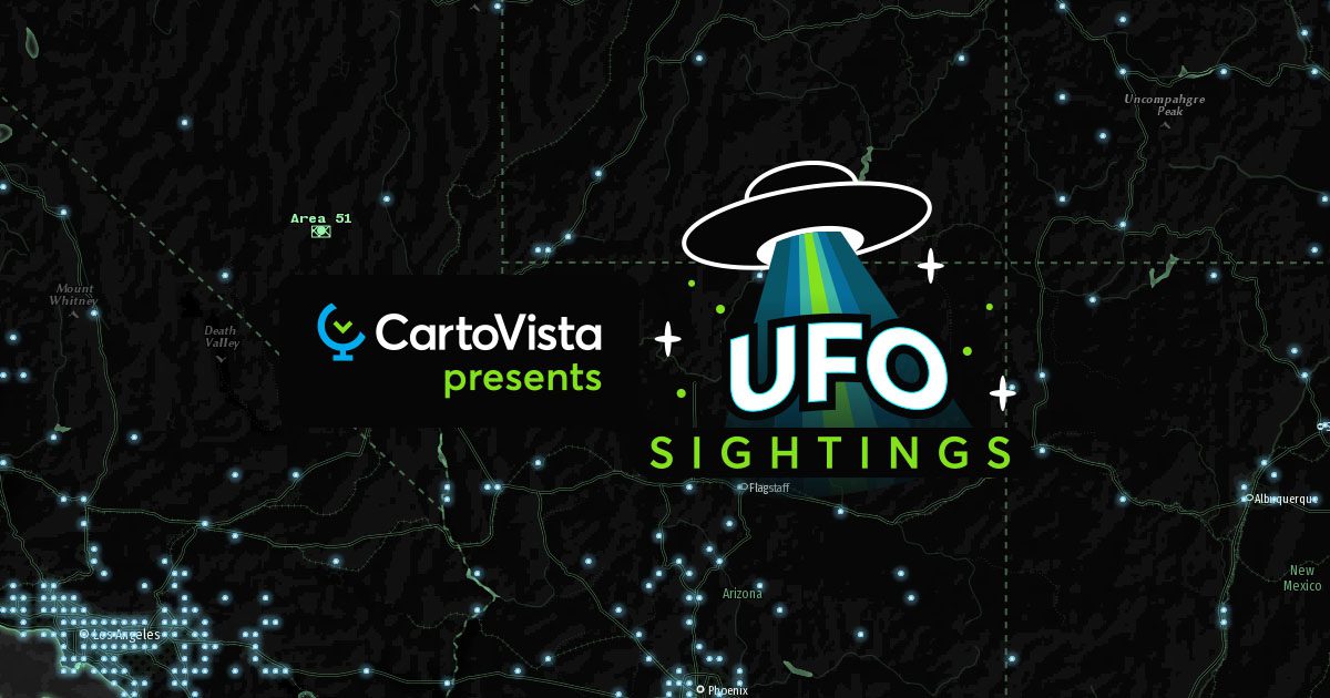

This map is divided into three intriguing themes, each offering a distinctive perspective on this phenomenon.
All UFO Sightings
Imagine a map that traces the footsteps of extraterrestrial encounters across the United States. The “All UFO Sightings” theme offers a glimpse into this fascinating world, presenting a science-fiction-inspired design that lists cities where UFO sightings have been observed. Cities where more sightings have been reported are emphasized by their size. It goes further by providing the date and time of these enigmatic encounters. Whether you’re a skeptic or a believer, exploring this theme will pique your curiosity about the cosmic mysteries that have unfolded over the years.
UFO Sightings by Shape
One of the most perplexing aspects of UFO sightings is the diversity of shapes these unidentified flying objects take. The “Most observed shape” theme is an intriguing journey into the various forms reported by witnesses. These sightings have been meticulously classified into multiple distinct shapes. The map not only pinpoints the locations but also employs futuristic icons to represent the most observed shape for each city.
UFO Sightings by County
The final theme on CartoVista’s UFO map offers a unique perspective by displaying the distribution of UFO sightings by county. This theme provides valuable insights into the regions where these encounters are more prevalent, allowing enthusiasts and researchers to analyze patterns and trends. Interestingly, the county with the most sightings reported is Maricopa, Arizona, with 1,154 reports.
Explore The CartoVista Mapping Platform
CartoVista’s innovative map celebrates World UFO Day by offering a unique and captivating experience. With the map’s visual representation of sightings, shapes, and distribution, you can explore the rich tapestry of UFO phenomena in the United States.
And there’s a lot more that you can do with CartoVista’s powerful mapping platform. and try CartoVista for yourself to see how you can bring in your data, easily create engaging maps, and tell captivating visual stories.