



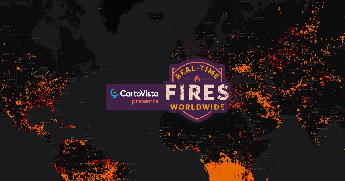

Fires in the last 24 hours
This map shows all the fires that have occurred in the last 24 hours, using red dots.
Hotspots in the last 24 hours in protected areas
This theme focuses on fires and protected areas in the world (primary forests, national parks etc.). The fires are represented here by yellow dots.
Fire hotspots by country
This visualizes fires by country with a colour range that shows the number of fires per km², and circles that show the total number of fires in the hotspots.
We hope that this map will interest you!