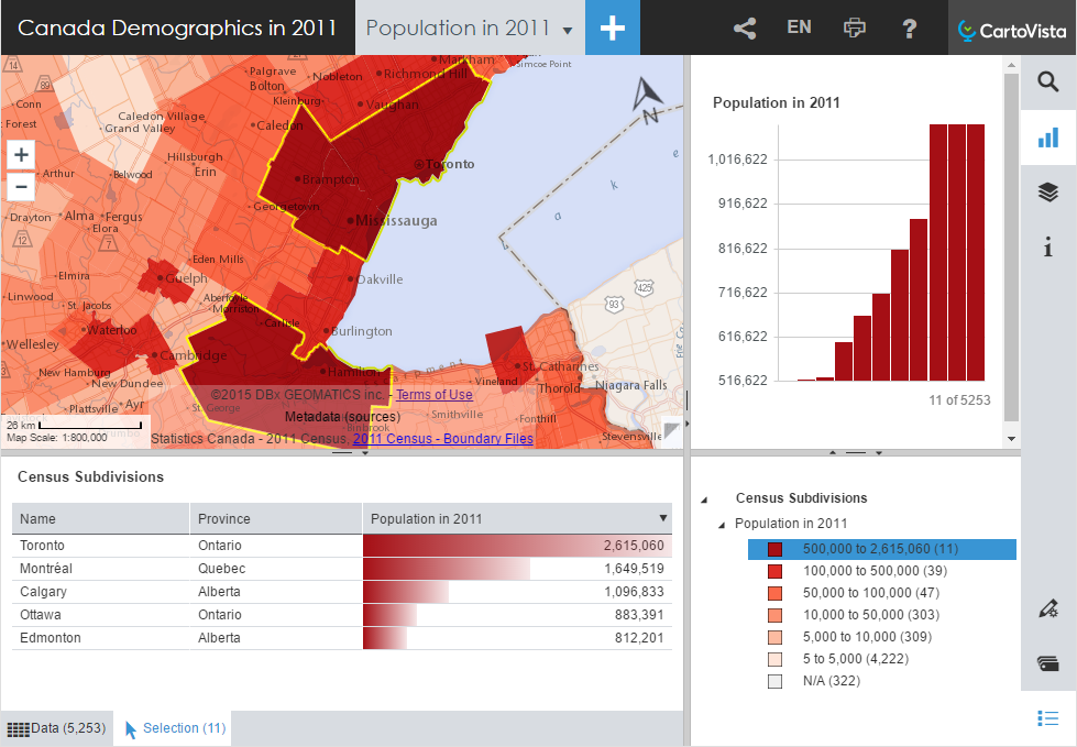
Selecting Features
The relationship between the map components is fully interactive when selecting:
- The selected map features are visible on the map with a colored boundary applied to them (default is a bright yellow).
- The Selection table is filled in with information related to the selected map features.
- Charts linked to the selection are updated to display only the selected map features.
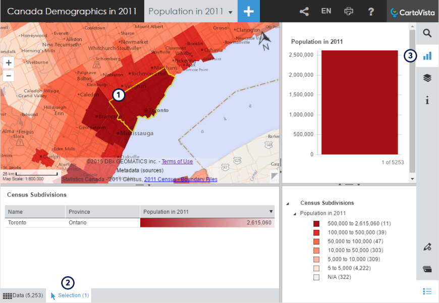
In addition to the selection tools of the Map Toolbar, CartoVista offers the capability to select map features from the Data panel or the Legend.