Interactivity and Responsiveness
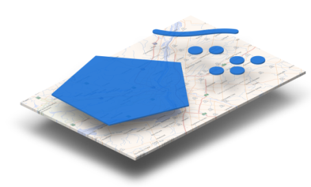
If we take a closer look at a CartoVista map, we see that it is commonly made of multiple layers of data in vector format, such as points, polylines and polygons. These spatial data can be interactive, in order to react to the user's actions. Under these interactive data, a multi-zoom basemap in raster format allows the users to navigate easily on the territory.
The CartoVista Viewer is responsive to the following actions: