Layer Control
The Layer Control displays a list of the layers in the map window.
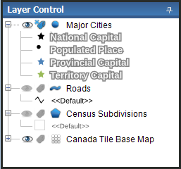
The layer tree contains one node for each layer in the map window. An icon identifies the feature type of each layer. Server layers are identified with a little earth icon.
|
Feature Type |
Icon |
|---|---|
| Point |
 / /  |
| Polyline |
 / /  |
| Polygon |
 / /  |
| Tile |

|
| Raster |

|
| Annotation |

|
| WMS |

|